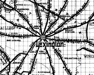


 From Paris, eighteen miles of perfect wheeling brought us to Lexington,
the city of the Blue-Grass Region, the former state capital, and
an ideal residence-town. Fifteen miles farther, and we were at
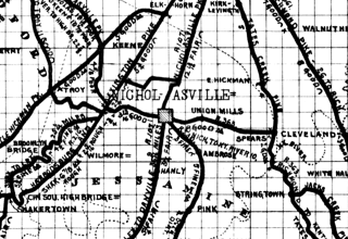
Nicholasville, whence two roads lead to High Bridge. We chose the one
through Brooklyn, which has much the finer scenery. At first, there was
a little disappointment. Cycling under a broiling sun after an
indifferent dinner is not conducive to cheerfulness; besides, we had
turned off from the smooth, hard pike, and the road, while fair, was
somewhat of a contrast to the former one.
 Slowly pedaling along, with frequent stops for rest and a drink, we
suddenly began to descend a long slope. Higher and higher on our left
rose the rocks; deeper and wilder grew the ravine on our right; meeting
tree-tops formed a green arch overhead; ferns and wet mosses lined the
way. The road under us was good, and the cool, refreshing solitude
banished every trace of irritation. Even the Nicholasville dinner
faded away into an indistinct memory. Tongues loosened and laughter and
chattering succeeded unsociable silence. With an occasional halt for a
shot with the camera, we sped on and down. A sharp turn around a
vertical wall of rock, two hundred feet in height, and a magnificent
view of the Kentucky River, cutting its way through the hills, burst
upon us. Crossing the river, we began the ascent on the other side. It
was long but easy, the scenery continuing of undiminished beauty.
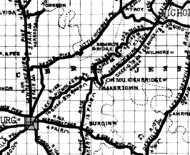
 At Shakertown, near High Bridge, we halted for the night. It was early
settled by the peculiar sect of Shakers, and was evidently at one time a
very prosperous community. One of the massive stone buildings has been
converted into a hotel, and is presided over by a decidedly original
character, "Sister Jane." It is a quiet, restful retreat, the next thing to
an old-time monastery. We remained here two days, making a superficial
study of the Shaker institution and exploring the surrounding country.
 Sunday morning we were fortunate in catching the "Fall City," rather
erratic as to schedule time, but a fine boat, nevertheless. The Grand
Canyon of the Colorado is more majestic than the Kentucky River gorge,
and the ruined castles of robber barons along the Rhine may be more
interesting than pioneer log cabins; but the boat ride from High Bridge
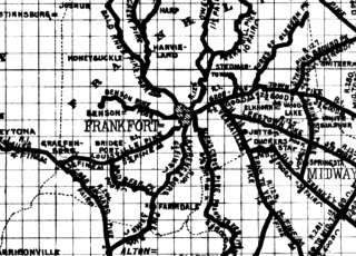
to Frankfort ought to satisfy either artist or poet. From Frankfort we
went overland through Georgetown to Cincinnati.
From A Tour Through Blue-Grass Country by G. E. Perry, published in The Bulletin of the L.A.W. and Good Roads, Volume XXIX, Number 15, April 14, 1899.
Map illustrations from The Bicycle Road Map of the Bluegrass Region of Kentucky and Vicinity of Louisville, Ky., 1899. Dedicated to the "Jolly Good Fellows of the A.A.B.C." Copyright 1899 by Webster Gazlay.